Earth Observation Services

for research and better decision making

ABOUT US

GENESIS is a leading Geo-Information and Earth Observation services consulting and research organization in Nepal, specialized in providing spatial solution services for wide range of fields including natural resources, ecosystem and environment, urban planning, disaster risk reduction, water resources, land management, climate change, population and demographics, infrastructure, forest carbon and REDD+ and others specialized fields.

GENESIS excels in providing customized GIS solutions, system development, GIS data management, spatial analysis, value added imagery products, satellite imagery processing/analysis, digital photogrammetry, mapping, Web GIS development/deployment services. GENESIS has over 15 years of experience in the application of geo-information technology in natural resources management, environment management, water resources management, urban management, multi-hazard assessment, disaster risk reduction, population and socio-economic studies in Nepal.
SERVICES

  • Vector Feature Extraction
  • Data Migration
  • Lidar Data Processing
  • Digital Cartography
  • Map Production
  • DEM/DSM Generation
  • Cartography/Interactive Mapping
  • Virtual Reality and Simulation

  • Requirement Analysis
  • Quality Management System
  • Earth Observation Studies
  • Institutional/Sector Assessment
  • Project Management/Supervision

  • Spatial Analysis and Modelling
  • 3D and Terrain Analysis
  • Spatial Multicriteria Evaluation
  • Network Analysis and Modelling
  • Land Cover/Land Use Change Analysis and Modelling
  • Environmental Modelling and Simulation
  • Geostatistics and Prediction Modelling

  • System Design and Modelling
  • GIS/DB Design and Implementation
  • System Integration and Migration
  • Mobile GIS Application Development
  • Web GIS/Geo-services Development
  • Application Extension Development/Customization
  • GIS Software Development and Customization

  • High/Medium Resolution Satellite Imagery Acquisition
  • Digital Photogrammetry
  • Radar Imagery Acquisition
  • Digital Aerial Photography/Survey
  • Airborne Laser Sensing (LiDAR) data Acquisition
  • Satellite Imagery Processing/Analysis
  • Radar Image Processing and Analysis
  • LiDAR Data Processing and Analysis

  • Institutional geo-capacity development
  • Refresher Trainings
  • Curriculum Development
  • Customized Trainings on Various Applications
  • Data development & knowledge transfer/trainings
  • Knowledge transfer/trainings
  • Basic & Advanced GIS and Remote Sensing Trainings

PROJECTS

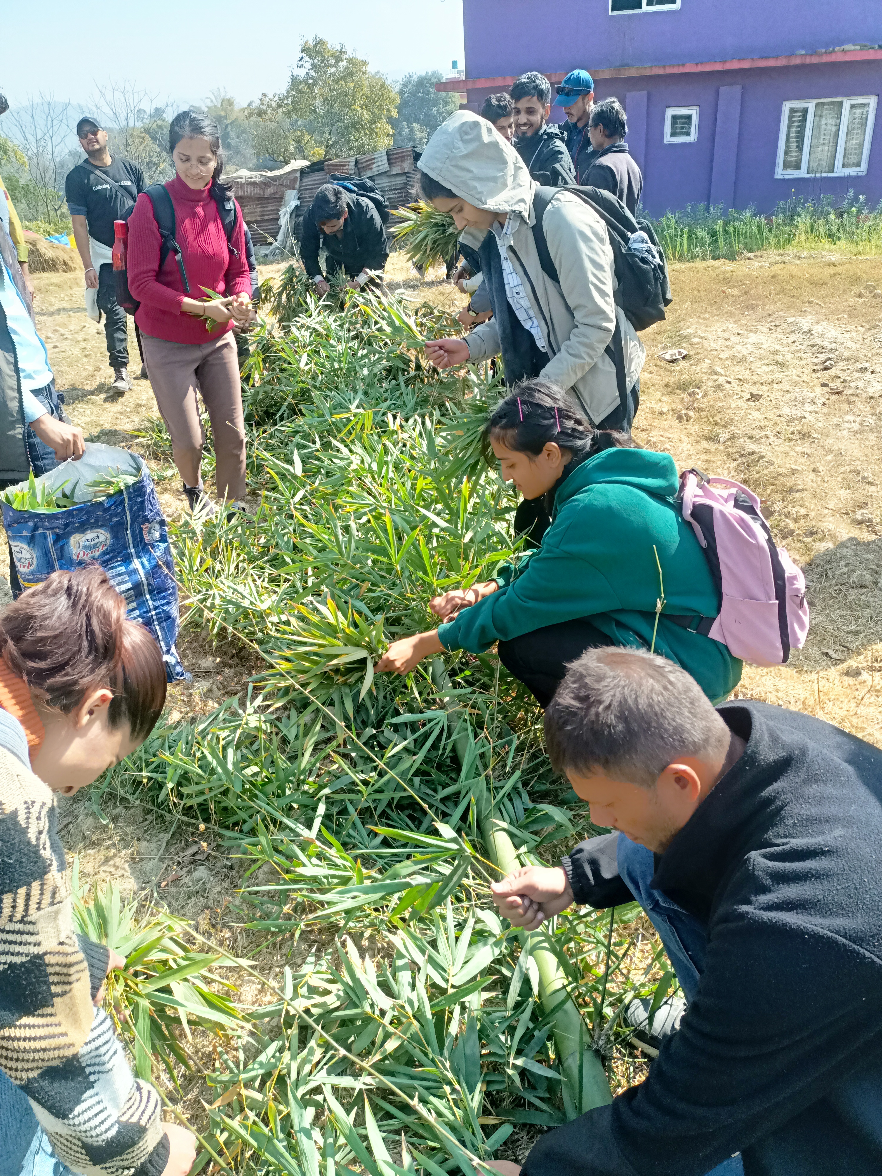
Bamboo Resource Assessment
Risk Senstive Landuse Plan of Karnali Province
TAYAR NEPAL- Bhimeshwor
Municipal Level Land Resource Maps Sankhuwasabha
Risk Sensitive Landuse Plan of Changunarayan Municipality

WORKING AREAS

  • GEO ICT
  • Earth Observation and Analysis
  • Regional/Urban Planning and Studies
  • Natural Resources including forestry, agriculture, soil etc.
  • Geo-Sciences and Natural Hazards
  • Land Administration and Management
  • Water Resources and Hydrology
  • Renewable Energy
  • Physical Planning and Infrastructure
  • Socio-Economics and Demography
  • Disaster Risk Reduction
  • Climate Change and Vulnerability
  • National and Sub-national Forest Inventory
  • REDD+ and Forest Carbon-Measurement, Reporting and Verification, Satellite Land Monitoring System
  • Integrated Land Use and Regional Spatial Planning
  • Risk Sensitive Land Use Planning and building bye-laws for municipalities and rural municipalities
  • Urban Land Policy and Land Governance

CLIENT AND PARTNERS

Contact us

Address: Sai Marg, Pulchowk-3, Lalitpur, Nepal

Phone number: (977)-1-5546677, (977)-1-5552622

P.O. Box: 8975 EPC 1220

Email: info@genesis.com.np